


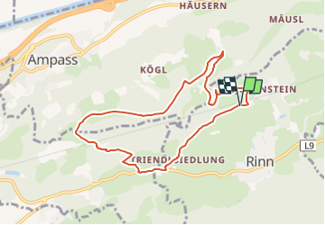

8,4 km | 13,1 km-effort


Tous les sentiers balisés d’Europe GUIDE+


Application GPS de randonnée GRATUITE
 SityTrail
IGN / Instituts géographiques
SityTrail World
Le monde est à vous
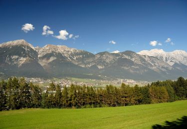
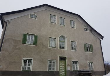
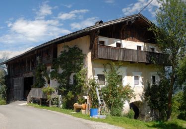
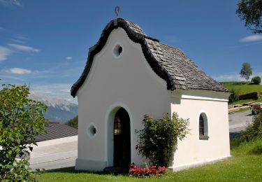
Randonnée A pied de 8,1 km à découvrir à Tyrol, Bezirk Innsbruck-Land, Gemeinde Rinn. Cette randonnée est proposée par SityTrail - itinéraires balisés pédestres.
Site web: https://www.innsbruck.info/wandern/wandern/wanderungen/touren/hasental-trail-38-1.html


A pied
A pied
A pied

A pied
A pied
A pied
Ski de randonnée